5 magnificent hiking trails in Berchtesgaden National Park (with detailed hiking route)
👉 The key facts from this guide
- Discover five beautiful hiking trails in the Berchtesgaden National Park for beginners and professionals.
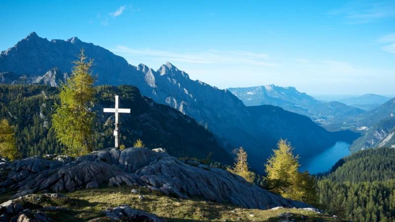
- Climb the Grünstein at Lake Königssee and enjoy the breathtaking view of the Watzmann and Lake Königssee.
- Experience the wildlife feeding at Hintersee, especially suitable for families with children.
- Hike the Soleleitungsweg around the town of Ramsau and enjoy the idyllic landscape.
- Climb the Hochstaufen for a more challenging tour with incredible views of the mountain range.
- Explore the Almerlebnisweg on the German Alpine Road for an adventurous hiking experience.
The Watzmann is probably the most famous mountain in the Berchtesgaden National Park.
The ascent of this mountain is the dream of many outdoor enthusiasts and hiking enthusiasts. After all, it is the third-highest mountain in Germany.
But the national park has much more to offer than just this one mountain.
The Berchtesgaden Alps consist of nine mountain ranges, all of which contain countless hiking routes and peaks.
I would like to show you five beautiful hiking routes in the Berchtesgaden National Park today.
You will find here the exact routes for beginners and for professionals, beautiful paths for summer and winter, and hiking trails that require walking in high alpine terrain.
And now enjoy reading and hiking!
Attraction National Park Berchtesgaden
The Berchtesgaden National Park is visited by millions of people every year. Many locals spend their holidays here, but it also attracts many visitors from outside. But what is the reason for this?
The national park is located at the southeastern tip of Germany and thus directly on the border with Austria. The area is primarily known for winter sports and the many alpine climbing and hiking opportunities.
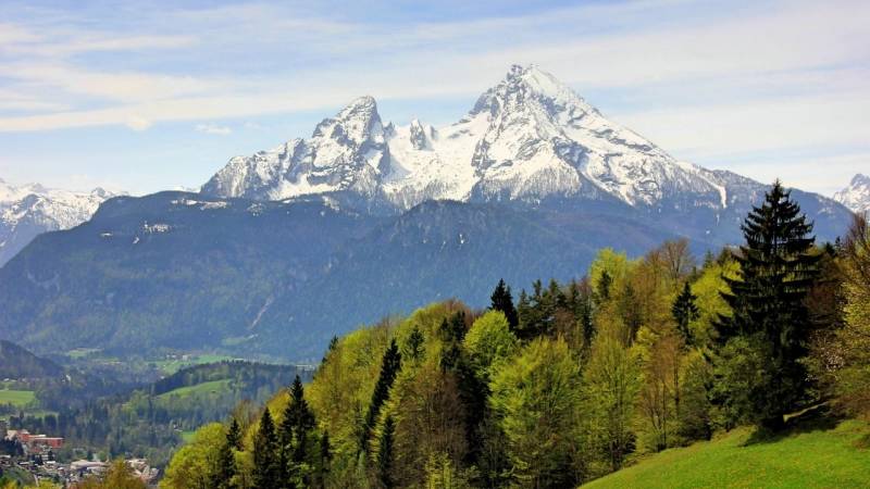
The most famous landmarks of the region, however, are the Watzmann and the Königssee. While tourists mostly stay away from the dangerous summit of the Watzmann, they enjoy a boat trip on the Königssee.
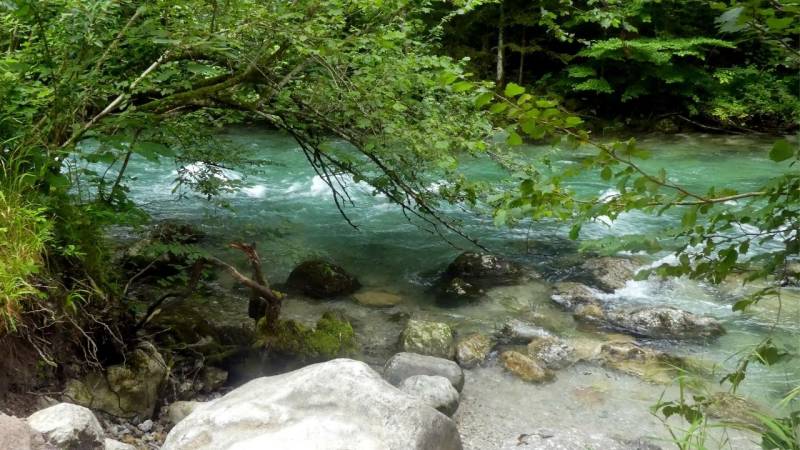
In addition to hiking, climbing, and skiing, you have many other options to make your time there attractive. You can visit the thermal baths in Bad Reichenhall. But you also have the opportunity to sit by the river "Königseer Ache" and wave to brave kayakers.
Furthermore, you can take the cable car and bus up to the Kehlsteinhaus and visit the museum there to learn about the history of Adolf Hitler. There is also a huge salt mine located directly in Berchtesgaden.
This is accessible to passers-by and can be viewed. It is even possible to take a boat ride inside the mine.
As you can see, the area offers you much more. So if you ever need a break from hiking, you can also engage in other activities here and relax!
1. The Grünstein at Königssee - small but fine
For me, the hike up the Grünstein is one of the most beautiful hikes in the Berchtesgaden area.
The Grünstein is a small mountain, with an elevation of about 1,300 meters above sea level.
The Grünstein is located directly at the town of Schönau am Königssee. Due to its central location at the Königssee, thousands of people come here every year and go on easy to difficult hikes.
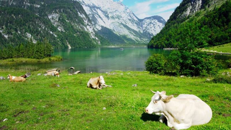
Arriving at the summit, you can expect the absolute highlight: a direct view of the Watzmann and the Königssee. It's no wonder that many people spend several hours at the summit, enjoying the breathtaking view.
There are many paths that lead to the summit of Grünstein. However, I always take only one path because I like it so much. In addition to the various hiking options, you can also do a via ferrata here.
The via ferrata also offers various routes - from easy to difficult - and leads you to the same wonderful viewpoint.
My hike always starts in Schönau am Königssee at the parking lot, right next to the Königsseer Ache. By the way, you can also camp there - but it's quite expensive. Due to Schönau being a very touristy place, parking there in general is not very cheap.
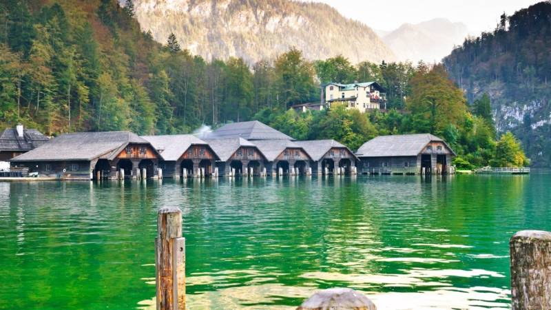
From the parking lot, head south until you reach Hotel Königsseer Hof. Turn right there and walk until you reach Seeklausel. Cross it and now follow the hiking signs.
The path also takes you along the famous bobsleigh track at Lake Königssee, where many world championships in winter sports have already taken place. Passing the bobsleigh track, you now continue on the actual hiking trail.
This path is just the way I love hiking trails: rooted, stepped, and relatively steep. Ahead of you are about 600 meters of elevation gain and 3.5 kilometers. The hike is signposted with an estimated walking time of about 2 to 2.5 hours.
However, if you are fit and athletic, you can easily complete the hike in 1.5 hours. About 20 minutes before reaching the summit, you will also find a hut. Drinks and food are sold there. Especially in summer, it is a popular meeting point.
The summit of the Grünstein is relatively small. Nevertheless, you will find a summit cross and many seating options there. But especially on warm summer days, it can get very crowded up here.
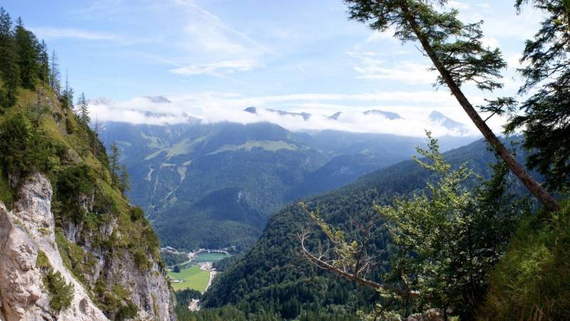
If you go in the early morning hours or in the late evening hours, you will only encounter a few people here and have the breathtaking view all to yourself! You now go back down the same way. On warm summer days, you can refresh yourself afterward in the Königssee or in the Königsseer Ache.
The hike is also suitable for families with children, as you mainly walk through wooded areas here. Only occasionally are there sections that are slightly sloping. However, hiking shoes are recommended due to the rooted forest floor.
2. Wildlife feeding at Hintersee - for families
Sure, the Königssee is the most famous lake in this region. But the national park offers many more tranquil waters that are beautiful, like the Hintersee.
The Hintersee is located near Ramsau - another well-known place in this area. Many hiking routes also start from here. However, one is particularly popular with families: The hike to the wildlife feeding area.
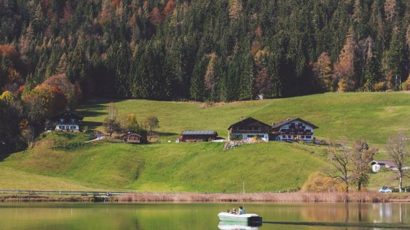
First: The wildlife feeding only takes place in winter. On the Berchtesgaden website you can also find out at what times the animals are fed. However, you can walk the path all year round.
Especially for children, feeding wild animals is an absolute highlight. Here you can observe various wild animals up close.
At Hintersee, there are many parking lots, all of which are subject to a fee. For this hike, I recommend driving all the way to the back of the road at Hintersee and stopping at the last parking lot. The road doesn't continue any further, as the hiking trail starts right there.
During peak visiting times, it may be necessary for you to park further ahead and then walk a bit to reach the hiking trail. The path leads you through a wooden gate. You pass through this gate and follow the paved forest road.
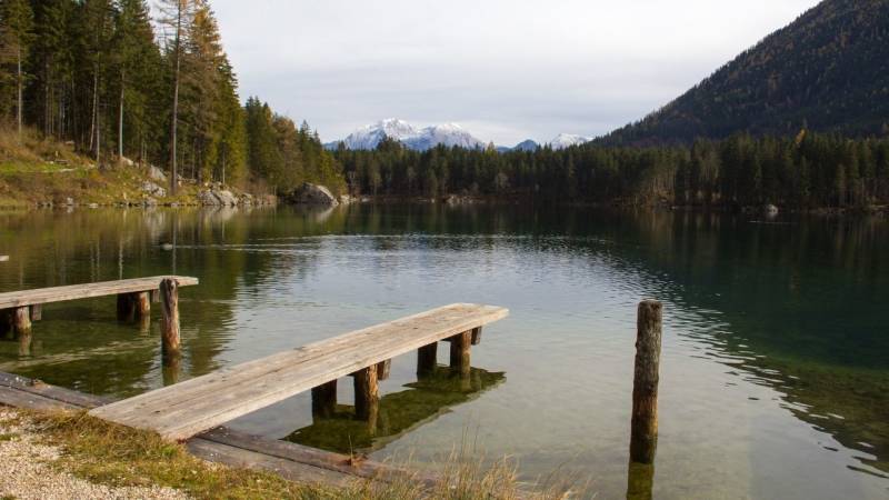
The path to the wildlife feeding area is fully signposted and is approximately 3.5 kilometers long, starting from the parking lot.
However, you don't have to climb any meters here, so you can reach the destination in just 45 minutes.
Through the expanded path, you can also walk along here with a stroller and hiking shoes are not necessarily necessary. You then go back the same way or take a short circular walk through the Klausbachtal.
Especially in summer, the Hintersee is an extremely popular destination. You can spend a few beautiful hours here. Rent a rowboat or pedal boat and enjoy the view of the surrounding mountain ranges.
In winter, the lake is usually completely frozen. Many take the opportunity to showcase their ice skating skills.
3. Soleleitungsweg - Circular path around the village of Ramsau
The well-known Soleleitungsweg is a remnant of the old brine pipeline that led from the salt mine in Berchtesgaden to Bad Reichenhall. Therefore, there are again countless starting points and hiking trails here.
However, many hiking enthusiasts come here to enjoy the beautiful nature on the unique trails. My hiking route revolves around the town of Ramsau and is a circular route.
The path is just 14 kilometers long and takes about 4 hours - depending on how long you take breaks to enjoy the beautiful view.
You have to overcome about 400 meters of altitude, which, however, only comes at the end of the tour. Therefore, save your energy well.
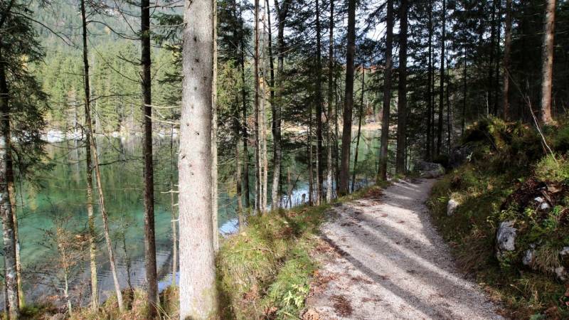
The tour starts at a hiking parking lot near the mountain inn Zipfhäusl. You walk past the inn and come to a fork in the road. There, the gorge path turns right. You will come back up from there later.
However, you are currently going straight ahead on the Soleleitungsweg, but not along the main road. You are now on the signposted path and follow the signs. On this path, you will pass several huts and restaurants where you can stop for a meal (or eat your own hiking food).
The path continues straight for about 5.5 kilometers, until it suddenly goes downhill, and you make your way into the valley. Here, too, you simply follow the signs or the road until you reach the main road to Ramsau.
You can now stroll through the idyllic village. The best way to do this is to walk along the Ramsauer Ache. At the bus stop "Kirche Ramsau", however, it goes uphill again. Now go straight up the gorge path until you reach the parking lot again.
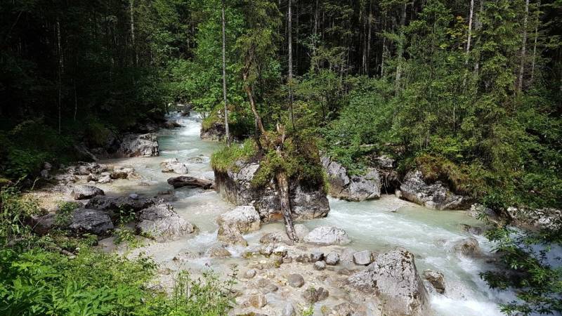
Basically, this path is also suitable for beginners, as usually, it goes straight and downhill on well-developed paths.
Only the last two kilometers are challenging and very steep. The root-filled and narrow path doesn't make walking any easier here. Especially in snowy conditions, this section demands a lot from you.
Hiking shoes are recommended, due to the last section.
6. Hochstaufen - moderate difficulty, but an experience
The following tour to the summit of Hochstaufen is the longest and most difficult hiking tour. Hochstaufen is a mountain beneath Bad Reichenhall. It is nearly 1,700 meters high and offers you an incredible view over the mountain range.
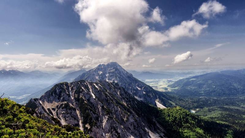
How long does it take to hike up the Staufen?
A tour to the Hochstaufen takes about 4 hours. However, you will also have to walk back the same way, which will take you approximately 2.5 to 3 hours. During this time, you will climb about 1,200 meters in altitude and cover a distance of approximately 6 kilometers.
The path you are taking is called a "Muliweg". This is how locals refer to narrow and rooted forest paths that were used to drive cattle in the past. Of course, there are many other beautiful paths to reach the summit of Hochstaufen.
The tour starts at a hiking parking lot west of the village of Nonn. From your car, you walk up the forest road here, but then turn left onto a small hiking trail.
However, you can also continue along the road, but that is a bit longer. You follow the path for about 1.5 kilometers and can already see the top of Hochstaufen. From there, you turn left onto Bartlmahd. Now the actual hiking trail begins, which is fully signposted from here.
On the signs, you will also find suggestions for other peaks and routes that you can explore next time.
The most difficult part of the hike, however, awaits you after about 5 kilometers, at the level of the Mittelstaufen. From here, you will cross a narrow ridge to reach the summit. Before reaching the summit, you will pass by the Reichenhaller House.
Here you can fortify yourself and already enjoy a breathtaking view. From the Reichenhaller Haus it is only a few meters to the summit. However, here you have to climb over various rocks and boulders until you reach it.
You can now go back down the same path or take the opportunity to climb another summit, the Zwiesel. This path is also fully signposted. However, my hiking route will take you directly back down to your car from the summit of the Hochstaufen.
I only recommend this hike to families with children to a limited extent, as the path near the summit is very narrow and steep. There are also several obstacles and rocks along the way that need to be overcome.
Caution is especially advised here in winter! Since the Hochstaufen is about 1,700 meters high, there is still snow on the summit until April/May. With regular hiking shoes, it can be very slippery and dangerous on the ridge.
5. Alpine Adventure Trail on the German Alpine Road
A slightly more challenging route is the Almerlebnisweg - at least parts of it. The trail is also located near Ramsau and offers you a beautiful view of the mountain ranges.
The Almerlebnisweg lasts about 4.5 hours and is a circular hiking trail. The time factor, of course, also depends on how many breaks you take. In 4.5 hours, you will cover approximately 12 kilometers and almost 700 meters of altitude.
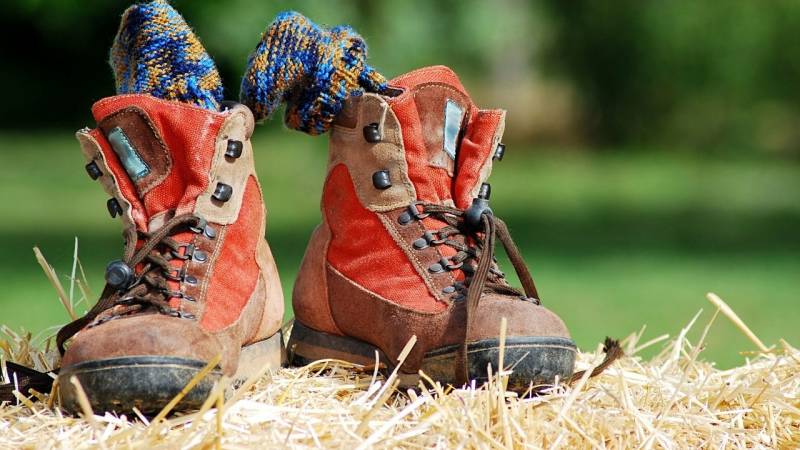
For the hike, I strongly recommend wearing hiking shoes!
The trail starts at the "Wachterl" hiking parking lot. From there, you walk southeast, along the Alpenstraße. After about one kilometer, you cross the Alpenstraße and follow the forest road Mordau. On this road, you walk for about three kilometers until you reach the Mordau Alm.
You can now turn back here or continue the tour. From here, you pass by the Mordaualm and follow the hiking trail that turns left. Now it's going uphill!
After another two kilometers, you reach the upper plateau of Jochköpfl. If you now go to the left, i.e., south, you will reach the summit of the mountain and can enjoy a beautiful view from there.
Here you will also find a small bench. For the rest of the way, you now go back to the plateau and turn left onto the next hiking trail. Follow this until you reach the Moosenalm.
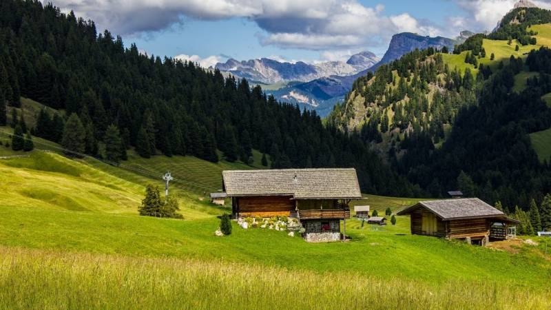
From this alpine pasture, walk about 200 meters south until you reach a fork in the road. At this point, stay on your familiar path and keep to the right. There will be a few switchbacks that will take you back down.
Once you have reached the main street again, you need to cross it, and you will then return to the car.
This trail is a slightly more challenging hiking trail. You will walk along a well-developed forest road to reach the Mordaualm. You can also walk on this road with a stroller.
After the Mordaualm, you will reach a rooty and narrow forest floor that will lead you to the Jochköpfl. On the plateau of the Jochköpfl, or at the summit, you have to be attentive.
Especially in winter, there is a lot of snow up here. Therefore, do not get too close to the steep edges of the summit, as snowfields may break off.
The path from the plateau to the next alpine pasture is also a bit adventurous. This path is also very narrow and runs along a steep slope. Especially in winter, there is an increased risk of slipping here.
If you also go on the tour in winter, I recommend wearing snowshoes. From Moosenalm onwards, the snow covers wide meadows. Progressing here becomes very difficult.
Due to the steep paths, I only recommend the tour for families with children to a limited extent. However, there are no problems until you reach the Mordaualm.
Questions and Answers
Which hikes are suitable for beginners and families in Berchtesgaden National Park?
Please note that there are many other beautiful hikes in Berchtesgaden National Park that are suitable for beginners and families. The hike to the wildlife feeding area and the brine pipeline trail are just two great hiking trails.
Do I need special equipment for hiking in Berchtesgaden National Park?
The Berchtesgaden Alps are beautiful and challenging at the same time. In general, all you require for hiking there is a good pair of hiking shoes and outdoor clothing. In rare cases, you might need hiking poles or snowshoes.
What else can you experience in Berchtesgaden National Park besides hiking?
You have the opportunity to climb additional peaks in the Berchtesgaden National Park with a cable car, such as the Kehlsteinhaus. The salt mine is also definitely worth a visit and offers you a unique insight.
And, what do you think about my routes? Which hiking route appeals to you the most?

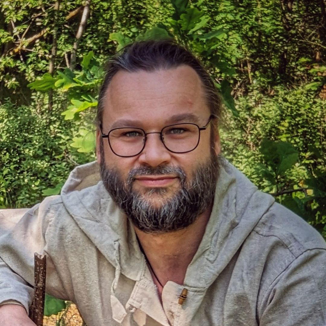
Author of the guide
Martin Gebhardt
Hey, I'm Martin. On my blog, you will learn the basics and numerous details about living in the wild. I think survival, bushcraft and the good life in nature are the keys to happiness. Find me here on Instagram or on YouTube. You can find more about my mission on the About Me page.
Was this guide helpful?
12 people found this guide helpful.
5.00 out of 5 points (12 Ratings)
Comments (0)
This post may contain affiliate links. So if you click on the links and make a purchase, I will receive a small commission at no additional cost to you. Click here, to learn more about it.


