Become native through mapping: An activity for exploring and getting to know a place (+2 missions for children)
👉 The key facts from this guide
- Explore your area to develop self-confidence and a sense of belonging to nature.
- Map special places with your child to learn valuable skills together.
- Mapping appeals to children's interests, such as drawing, building, and storytelling.
- Teach your child the basics of directions and map reading.
- Embark on missions to explore the surroundings and create maps with your child.
- Improve your child's mapping skills to enhance their perception and self-confidence.
Do you want to feel local at your place too?
Do you want to know where certain plants grow, where to find shelter in the rain?
Then you should get to know your place.
And how do we get to know our place?
By exploring it.
An in-depth knowledge of a place creates self-confidence and a sense of belonging, and a feeling that you are at home in nature.
Let me now show you how this works. Additionally, you will get to know two missions that children love.
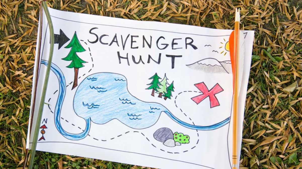
Do you remember when you created a treasure map as a child?
You and some friends may have had a can with special items that you hid together.
After deciding where the can should be hidden, the question arose of how to find it again.
You had to create a map.
What did you write on your map to give yourself clues on how to find your treasure?
Maybe you wrote: 12 steps north until you reach a big pine tree.
Or: Turn left at the big oak tree with the woodpecker holes and walk 20 steps.
You may have created different symbols on the map that you came up with to show what is located there.
A wavy line was a stream. Several dots were a big sand heap. A connected series of circles was a stone wall. A few strokes was a small forest.
The mapping of a special place with your child/children is an enchanting activity that not only provides time for shared exploration.
You will also learn valuable skills such as following instructions, reading maps, counting, orienting yourself, and gaining a more profound understanding of this place.
Why mapping appeals to children
I can still remember my first grade class, with whom I built a map. It was exciting because I had never done it before.
At the beginning, I told a story about Maya, who was 16 years old and got lost. In the story, the only thing that helped her was that she oriented herself and built a map in the forest. In the end, that helped her find a good path in the twilight.
After the story came the invitation: Do we want to build a map like Maya? And promptly I heard almost all the children say "Yes". What a relief, and we set off in different directions.
Creating a map sharpens people's perception and mindfulness
Everyone who wants to create a map must consider where something was, what it looked like, and what it was. If you're unsure, you'll pay closer attention next time.
But not only perception and mindfulness are trained here, but also many childlike preferences are addressed, such as:
- Drawing
- Building
- Inventing stories
- Inventing names
- Telling stories
- Collecting and sharing
- Bringing and presenting
- Keeping a diary
- Helping each other
- Wandering / Wandering
The Basics of Mapping
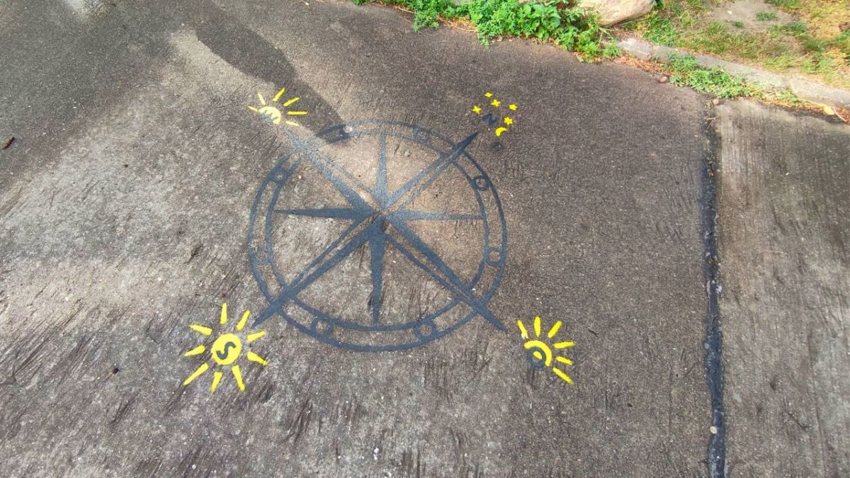
"In which direction does the sun rise?" Does your child know that, and can they show you the direction to the east? Do you even know it yourself?
"Where is north?" If your child still points straight up, it's time to teach them the cardinal directions.
I started by familiarizing myself with using a map and compass and at the same time, I repeatedly tried to navigate without a compass.
Once you know the cardinal directions, it's time to look at the map.
Ideally, consider multiple different maps together. Depending on the scale, you will find all kinds of information that the map provides.
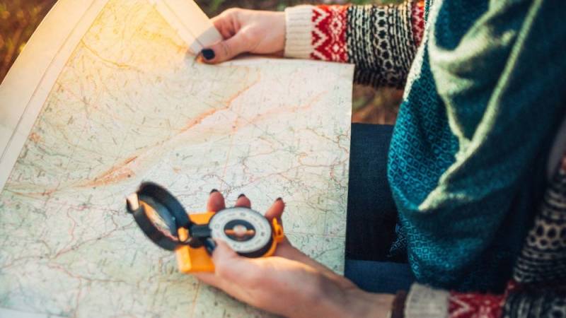
You can also view an aerial photograph of your house, a city map, a street map, or a geographic map.
When examining the different maps, pay attention to the types of information each map provides.
Some questions you should consider are:
- In which direction is north on this map?
- Can you show where you are on the map?
- Is there any indication of where people live? Where do wild animals live?
- Do you see any mountains, lakes, or rivers?
- What stands out to you the most on this map?
Oh, and the map gives the children a good feeling that they will become at home there, so they know their way around.
This is also good for later games, for example, when they want to hide or perform a mission alone / in a group in the environment.
And now we come to these missions.
Mission 1: History, Explore Territory, and Build Map
I have already carried out this mission many times with school classes in grades 1 to 6. Most children have a lot of fun, and you can carry out the mission in small as well as large groups.
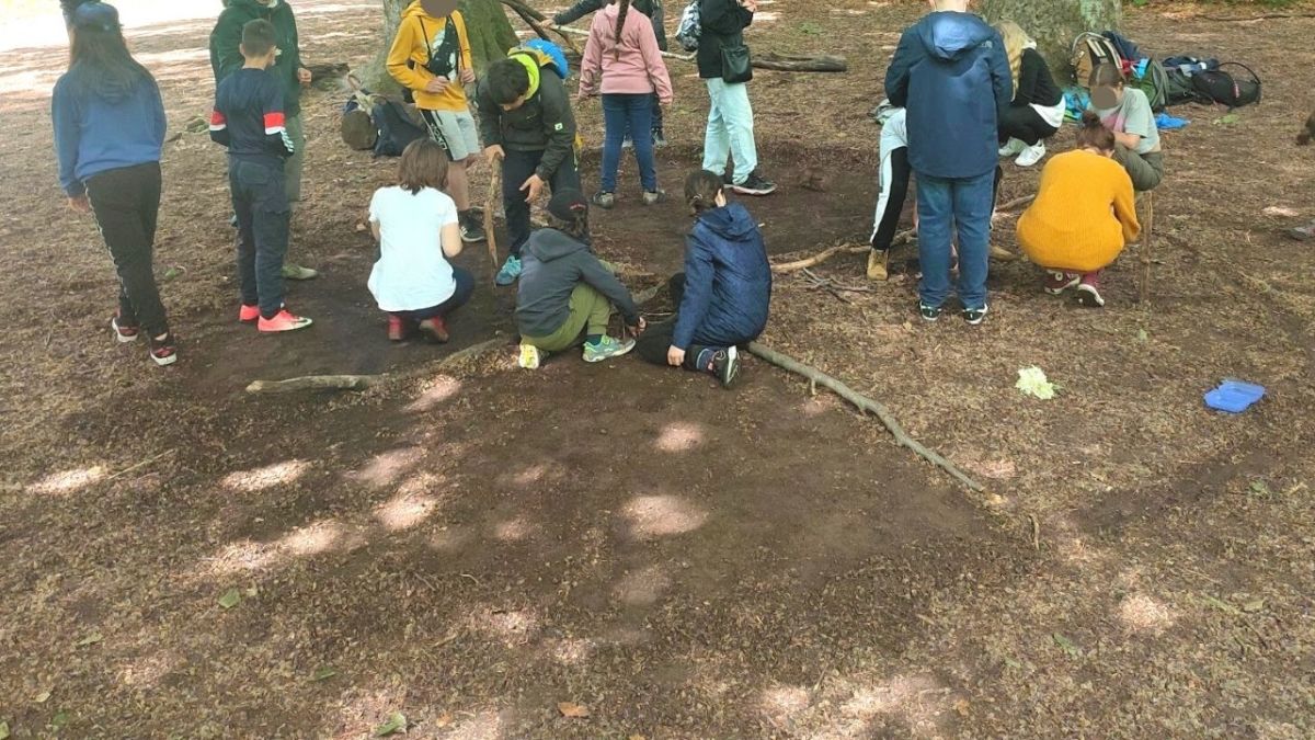
Do not underestimate the power of stories and definitely tell one on the topic.
You can take mine, but it would be even better if you come up with your story.
The Power of Stories
I am telling the story of Maya, who may have lived with her parents in the same place where you are currently with the children.
Long ago, among our ancestors, a family lived here in Germany, maybe even here in this place in a village.
The family had a daughter named Maya and a son named Taro.
Maya was 16 years old, had brown hair, was brave, and could run fast. She also knew a lot about the herbs in the forest and knew exactly which animals lived there.
Unfortunately, Maya's younger brother got sick in the autumn, and her mother sent Maya to collect herbs.
Regrettably, the herbs were far away, and Maya knew that she would have to spend the night somewhere.
So, she set off and followed the route that her father had recorded.
She had been on the road all day, trying to find the herbs her brother needed to get better.
She had mostly followed the path, but now everything looked the same, and for a second, she lost hope.
Maya realized that she had gotten lost in the forest.
She decided to determine the directions based on the still weak sun.
First, she headed north, returned to her spot, and went east. Then she went south, came back again, and then went west.
She marked spots in the forest over and over again to not get lost once more and find her way back to her spot.
To remember the things she discovered, she built a map on the ground using sticks, cones, stones, and leaves.
After an hour, she only needed to look at her map, and she knew where the water was, where the biggest oak tree stood, and where a small mountain was.
The sun was soon setting. But she felt safer again thanks to the map and decided to head to the mountain in the east once more.
The sky now took on a violet hue as she stood on the hill in the north. Then she saw a light that looked like it was coming from a campfire.
Maya ran towards it, hoping to find someone who could help her.
As she got closer, she saw two figures sitting around the fire, cooking something on sticks.
One of them offered Maya a seat by the fire and gave her a broth-like soup with mushrooms in it.
And the good thing was, both of these travelers knew the path and the way to Maya's village.
She stayed there with the travelers, collected the herbs the next morning, and quickly found her way back home.
Her brother soon got better.
And now my question to you (to the children): Do you dare to explore the area here like Maya and build such a map?
30 Minutes Wandering
Afterward, ideally we go in groups of 4 - in all directions - and explore the surroundings for the next 30 minutes.
I'm trying to encourage children to collect things or name specific places - like giving a name to a tree standing in the sun. Something like "Sun Tree" or "Sun Clearing" or "Place of the Sun".
Generally, I let the children go their own way, even if it's not the agreed upon direction.
It's not about being correct and perfect, the children should be able to decide for themselves and become explorers.
Building the map
After the 30 minutes, which usually takes longer because so much has been discovered, we meet again at the camp.
There the mission continues immediately: building a map.
"Who can help me find sticks and lay a circle? Who can sweep away the leaves? Who knows where North is?"
Span the children ideally immediately again and ask for help so that you can prepare the space together.
Then build a cross and determine the cardinal directions.
Now the groups start to incorporate their discoveries. This can also take about 15 to 30 minutes.
If no one starts building, then you must definitely take the first step.
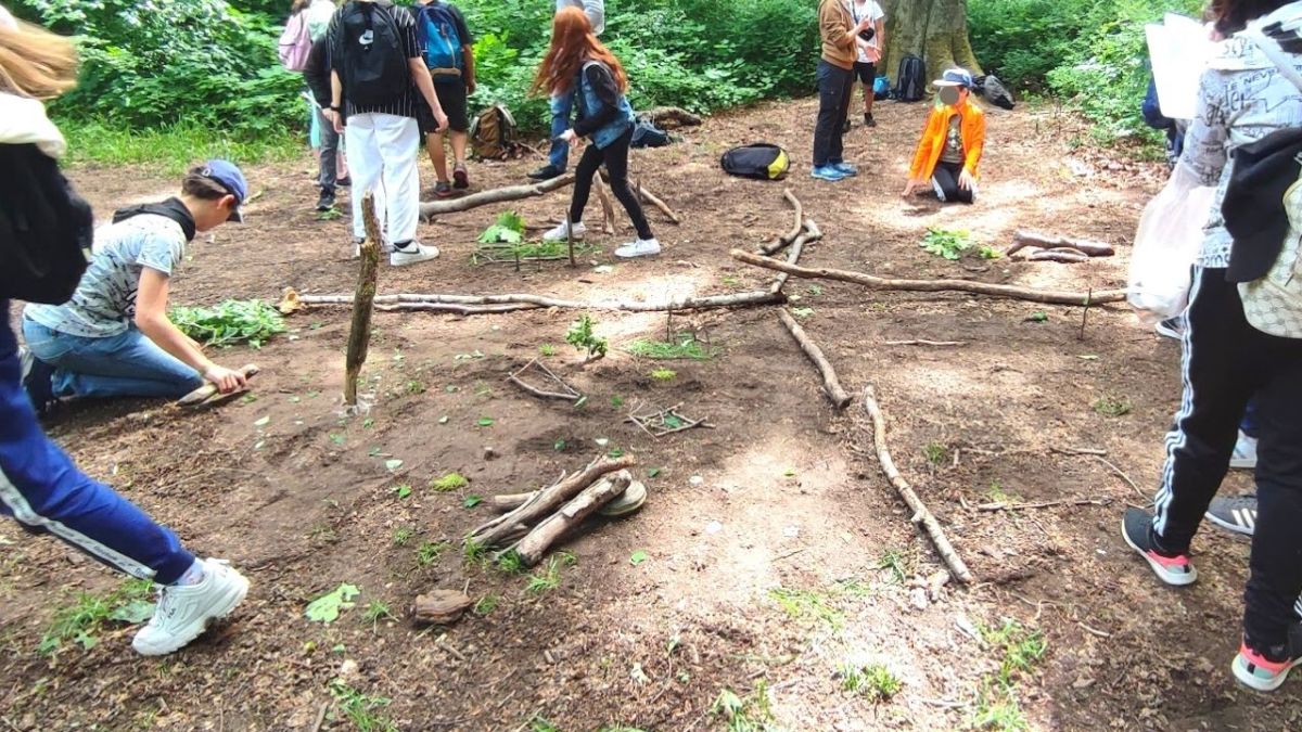
And here's a request to you: There's no right or wrong here. Let the children build. It doesn't matter if the map is error-free and to scale.
You will notice how suddenly rascals become quiet and build little tipis. Like children scurrying around like ants, searching for sticks and leaves, building trees out of old leaves or digging holes that are supposed to represent a fox den.
When I see the map that the children have built in the end, my heart opens up.
When everyone is finished, each group is allowed to present their findings one after the other. Plan an additional 15 to 20 minutes for this.
Mission 2: A Family Mapping Together
Go together into the forest and hide a valuable item for each of you. Stay there for now and decide how you want to find it again.
Make sure to bring paper and pens. Sit down together and draw the area you are in.
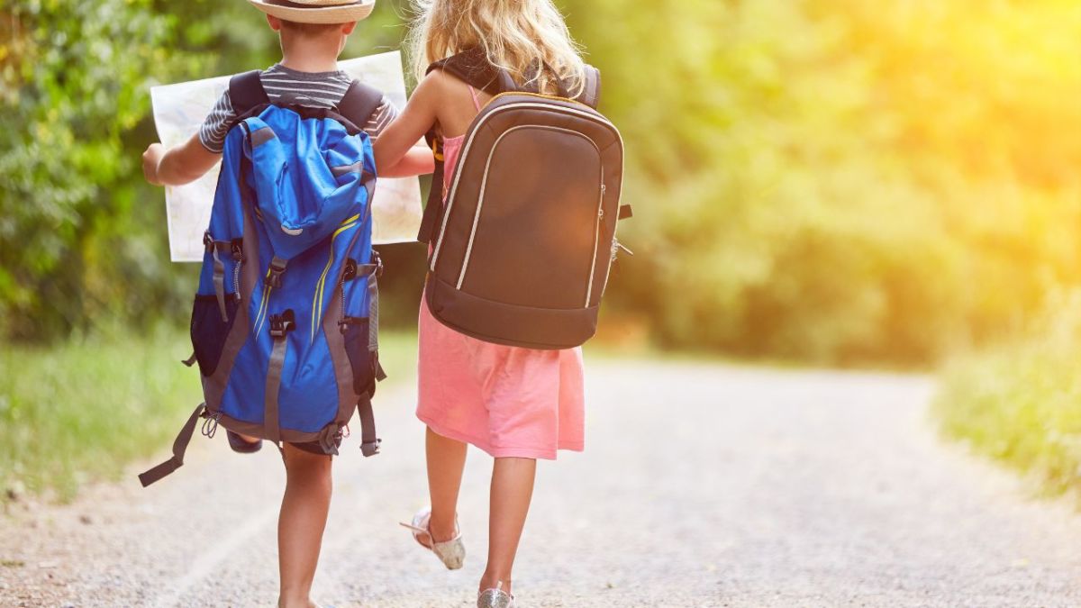
You can decide together which symbols to use and what they mean.
I draw green triangles for a coniferous forest, round green circles for a deciduous forest. A blue circle is the pond and the blue circle with green protruding from it is the swamp.
Let the creativity of you and your child come to the fore.
Next, you work together on how to get back to the goal. Take notes as you go back and retrace your steps.
Ask your child if they want to count in meters or steps. It is ideal to count steps at first; otherwise you would have to measure.
As you move further away from the treasure, you look for natural features to help you navigate.
Later, you will need these spots to remember. Choose names for them like the Sun clearing, the Unicorn tree, the Beaver castle (logs stacked on top of each other), the Deer antlers (branches), the Bamboo forest (many small thin trees), or the Ant tree (ant hill on the tree).
Children love playing and can be extremely creative while doing so.
So make sure that your child can return to the treasure and mark these distinctive places on your map.
Then you go home and leave the treasure hidden. Make sure it is well hidden and in a secure location.
After a few weeks, the time has come to open the map and search for the treasure. Will you find it again?
Alternatives to the treasure map
If your child is more interested in writing than drawing, it is also a fun way to outline the treasure hunt through a song or a story.
Our ancestors have already done this and packed important things into songs and stories.
Decide together which natural features stand out and then come up with a story or song to map the way to your treasure.
Read also
41 Bushcraft Ideas with Children - kid-friendly outdoor activities for parents, groups, and classes – Here you will find 41 great kid-friendly outdoor activities to introduce your children to Bushcrafting and nature. Perfect for family activities.
When your child strengthens their card skills
Reading maps can provide a sense of security, orientation, and control.
When you go on a family outing next time, tell your child the destination and ask them to follow the lines on the map to figure out how to get there.
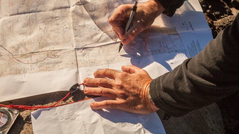
Let your child know: "As a navigator, you are responsible for setting the best possible course to our destination." Then see what your child comes up with. But make sure they are on the right course - otherwise intervene gently.
By allowing your child to participate in a journey and the destination, you engage their thoughts. Your child actively looks for markers that help them know where and when to turn.
These thought processes will have a massive impact on his perceptual abilities. By practicing card skills, children develop the competence to trust themselves.
You will also learn to feel safe and comfortable in different environments, whether it's crossing a sidewalk, riding a bike to the ice cream stand, or going on a trip to grandma's house.
Now have fun, try out my suggestions as soon as possible.

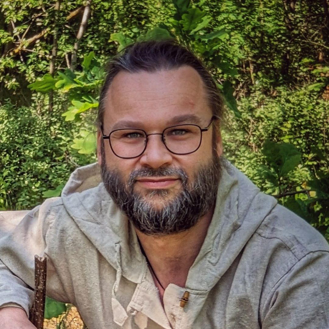
Author of the guide
Martin Gebhardt
Hey, I'm Martin. On my blog, you will learn the basics and numerous details about living in the wild. I think survival, bushcraft and the good life in nature are the keys to happiness. Find me here on Instagram or on YouTube. You can find more about my mission on the About Me page.
Was this guide helpful?
18 people found this guide helpful.
5.00 out of 5 points (18 Ratings)
Comments (0)
This post may contain affiliate links. So if you click on the links and make a purchase, I will receive a small commission at no additional cost to you. Click here, to learn more about it.


